


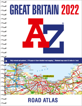
Great Britain A-Z Road Atlas 2022

An A4-size, spiral bound, full colour road atlas, now fully revised and updated. Clear detailed road mapping at a mainland map scale of 3.5 miles to 1 inch, 2.22 km to 1 cm.
This essential road atlas includes the following:
- 11 pages of main route mapping covering Greater London, Birmingham and Manchester
- Route planning maps
- Mileage chart with average journey times
- Information on motorway junctions with limited interchanges
- 80 city and town centre street plans
- 16 port and airport plans
- Channel Tunnel terminus maps
- Index to cities, towns, villages, hamlets, major destinations and selected places of interest with postcodes for satnav use
- Map reference information also in French and German
Instantly recognizable and easy to use, A-Z road mapping includes the following features: Clear standard road classification colours for easy identification, Full motorway junction detail, Under construction and proposed roads, Primary route destinations, Service areas Selected truckstop locations, National and county boundaries and A wide range of tourist and ancillary information, including Blue Flag Beaches.
A portable sized publication with a spiral binding; a popular choice for those wanting superb map clarity. Ideal choice to fit in any vehicle glovebox.
Related Subjects
TravelCustomer Reviews
ThriftBooks ® and the ThriftBooks ® logo are registered trademarks of Thrift Books Global, LLC
