
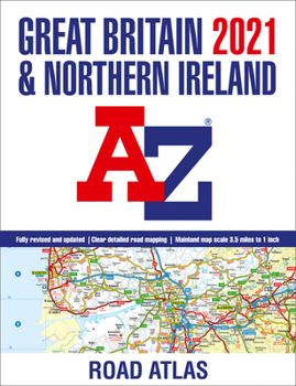
2021 Great Britain & Northern Ireland A-Z Road Atlas
No Customer Reviews

Fully revised and updated for 2021. It contains 89 pages of clear detailed road mapping at a mainland map scale of 3.5 miles to 1 inch. Includes 11 pages of main route mapping covering Greater London, Birmingham, and Manchester; route planning maps; mileage chart with average journey times; information on motorway junctions with limited interchanges; 70 city, and town center street plans; 16 port and airport plans; Channel Tunnel terminus maps; index to cities, towns, villages, hamlets, major destinations, and selected places of interest with postcodes for sat-nav use; and map reference information also in French and German.
Format:Paperback
Language:English
ISBN:0008388180
ISBN13:9780008388188
Release Date:October 2020
Publisher:Geographers' A-Z Map Company Ltd.
Length:152 Pages
Customer Reviews
0 rating
Copyright © 2026 Thriftbooks.com
Terms of Use | Privacy Policy | Do Not Sell/Share My Personal Information | Cookie Policy | Cookie Preferences | Accessibility Statement
ThriftBooks ® and the ThriftBooks ® logo are registered trademarks of Thrift Books Global, LLC
ThriftBooks ® and the ThriftBooks ® logo are registered trademarks of Thrift Books Global, LLC
