
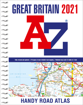
2021 Great Britain A-Z Handy Road Atlas

This full colour, spiral bound road atlas at a smaller A5 size has been fully revised and updated for 2021. It contains 170 pages of clear detailed road mapping at a mainland map scale of 5 miles to 1 inch.
Easily stored in a glove box or door pocket. Instantly recognizable and easy to use, the road mapping has been specifically tailored for the smaller scale featuring: Clear standard road classification colours for easy identification, Motorway junction symbols, Under construction and proposed roads, Primary route destinations, Service areas, National and county boundaries and A wide range of tourist and ancillary information, including Blue Flag Beaches.
Includes
- Mileage chart
- Channel Tunnel terminus maps
- Index to cities, towns, villages, hamlets and major destinations
- Map reference information also in French and German. Lies flat when open
This A-Z Handy Road Atlas of Great Britain and Northern Ireland is the perfect choice for those wanting a compact spiral bound publication with A-Z quality road mapping.
Customer Reviews
ThriftBooks® and the ThriftBooks® logo are registered trademarks of Thrift Books Global, LLC
