


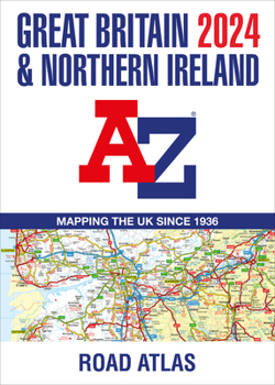
Great Britain & Northern Ireland 2024 A-Z: Mapping the UK Since 1936
No Customer Reviews

A large A3-size, full colour, paperback road atlas, now fully revised and updated. Clear detailed road mapping at a mainland map scale of 3.5 miles to 1 inch. Instantly recognizable and easy to use, A-Z road mapping includes the following features: Clear standard road classification colours for easy identification, Full motorway junction detail, Under construction and proposed roads, Primary route destinations, Service areas Selected truckstop locations, National and county boundaries and A wide range of tourist and ancillary information, including Blue Flag Beaches. The combination of map scale and large format gives a double-page driving range of 60 miles north to south and 80 miles east to west, making this publication the ideal motoring companion.
Format:Paperback
Language:English
ISBN:0008597626
ISBN13:9780008597627
Release Date:August 2023
Publisher:Geographers' A-Z Map Company Ltd.
Length:152 Pages
Weight:2.50 lbs.
Dimensions:0.7" x 11.5" x 15.1"
Related Subjects
TravelCustomer Reviews
0 rating
Copyright © 2026 Thriftbooks.com
Terms of Use | Privacy Policy | Do Not Sell/Share My Personal Information | Cookie Policy | Cookie Preferences | Accessibility Statement
ThriftBooks ® and the ThriftBooks ® logo are registered trademarks of Thrift Books Global, LLC
ThriftBooks ® and the ThriftBooks ® logo are registered trademarks of Thrift Books Global, LLC
