


GIS for Homeland Security
No Customer Reviews

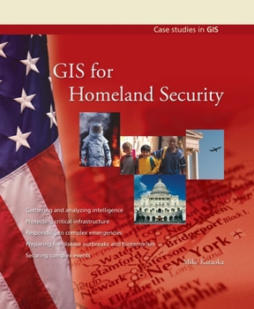
GIS for Homeland Security provides general overviews on how GIS is used for gathering and analyzing intelligence, protecting critical infrastructure, responding to complex emergencies, preparing for disease outbreaks and bioterrorism, securing complex events, and simulating disasters. A final chapter looks ahead at the growing role of GIS in homeland security. Each chapter includes three case studies that illuminate the topic with specific real-world examples. Key GIS players are profiled.
Format:Paperback
Language:English
ISBN:1589481550
ISBN13:9781589481558
Release Date:December 2007
Publisher:ESRI Press
Length:99 Pages
Weight:0.56 lbs.
Dimensions:9.0" x 0.3" x 7.6"
Customer Reviews
0 rating
Copyright © 2026 Thriftbooks.com
Terms of Use | Privacy Policy | Do Not Sell/Share My Personal Information | Cookie Policy | Cookie Preferences | Accessibility Statement
ThriftBooks ® and the ThriftBooks ® logo are registered trademarks of Thrift Books Global, LLC
ThriftBooks ® and the ThriftBooks ® logo are registered trademarks of Thrift Books Global, LLC
