All Formats & Editions
1 - 2 of 2 results found
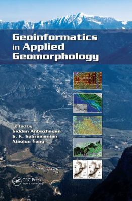
Geoinformatics in Applied Geomorphology
Edition Description
This book provides an overview of geoinformatics and current trends in applied geomorphology. It discusses airborne laser scanning in geomorphic mapping, case studies of coastal zone management and mapping, tsunami inundation mapping, desert environmental mapping, tectonic...
Edition Details
Format:Paperback
Language:English
ISBN:1138074454
Format: Paperback
Condition:
$
120.99
Geoinformatics in Applied Geomorphology
Edition Description
With recent innovations in the arena of remote sensing and geographic information systems, the use of geoinformatics in applied geomorphology is receiving more attention than ever. Geoinformatics in Applied Geomorphology examines how modern concepts, technologies,...
Edition Details
Format:Hardcover
Language:English
ISBN:1439830487
Format: Hardcover
Condition:
$
310.00
Copyright © 2026 Thriftbooks.com
Terms of Use | Privacy Policy | Do Not Sell/Share My Personal Information | Cookie Notice | Cookie Preferences | Accessibility Statement
ThriftBooks ® and the ThriftBooks ® logo are registered trademarks of Thrift Books Global, LLC
ThriftBooks ® and the ThriftBooks ® logo are registered trademarks of Thrift Books Global, LLC