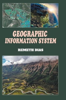
Geographic Information System
No Customer Reviews

This book covers database object definitions, relationships, geometric features, and the structure of data organization in GIS. To provide a clearer understanding of GIS applications, the book presents various examples. These examples demonstrate how GIS data can be utilized, considering different data formats. For instance, one application focuses on deriving surface elevation and slope information from digital elevation model (DEM) data. DEM data represents the elevation of the Earth's surface as a grid of cells, allowing GIS users to analyze topographical characteristics and create visual representations, such as elevation maps or slope gradients. It enables readers to grasp the fundamentals of GIS and its potential applications in fields such as urban planning, environmental management, transportation, and many others. By exploring the functionalities and capabilities of GIS, users can harness its power to make informed decisions, conduct spatial analyses, and gain valuable insights from geographical data.
Format:Hardcover
Language:English
ISBN:8119523415
ISBN13:9788119523412
Release Date:April 2024
Publisher:Discovery Publishing House (India)
Length:264 Pages
Weight:1.37 lbs.
Dimensions:0.6" x 6.7" x 9.6"
Customer Reviews
0 rating
Copyright © 2026 Thriftbooks.com
Terms of Use | Privacy Policy | Do Not Sell/Share My Personal Information | Cookie Notice | Cookie Preferences | Accessibility Statement
ThriftBooks ® and the ThriftBooks ® logo are registered trademarks of Thrift Books Global, LLC
ThriftBooks ® and the ThriftBooks ® logo are registered trademarks of Thrift Books Global, LLC