


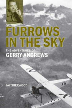
Furrows in the Sky: The Adventures of Gerry Andrews
No Customer Reviews

Gerry Andrews (1903-2005) had many adventures in his 102 years. He was a rural school teacher, a forester, a soldier and a surveyor. His developments in aerial photography dramatically changed forestry in BC in the late 1930s and assisted the Allies in the D-Day landings. As BC's surveyor-general from 1951 to 1968, he supervised the mapping of the province's large construction projects, often using aerial photography. He referred to the process of mapping the landscape in an airplane as "ploughing photographic furrows up and down the sky at 16,000 feet".
Format:Paperback
Language:English
ISBN:0772665222
ISBN13:9780772665225
Release Date:April 2012
Publisher:Royal British Columbia Museum
Length:240 Pages
Weight:0.85 lbs.
Dimensions:0.6" x 5.9" x 8.9"
Customer Reviews
0 rating
Copyright © 2026 Thriftbooks.com
Terms of Use | Privacy Policy | Do Not Sell/Share My Personal Information | Cookie Policy | Cookie Preferences | Accessibility Statement
ThriftBooks ® and the ThriftBooks ® logo are registered trademarks of Thrift Books Global, LLC
ThriftBooks ® and the ThriftBooks ® logo are registered trademarks of Thrift Books Global, LLC
