
ENC Essentials: Getting Started with Electronic Navigational Charts

Electronic navigational charts (ENC) have been the international standard for nautical charts for many years for commercial and governmental vessels, but they were not much used by recreational mariners as long as there were paper chart alternatives. But as of Jan. 1, 2025, all traditional NOAA paper charts were discontinued, and since then the ENC are the only official charts for US waters. Other nations are in the process of this same transition.
Thus it is increasing more important that all mariners become familiar with ENC, which are governed by international standards in content, presentation, and validity. In contrast, third party commercial charts are not bound by such standards.
ENC contain much more information than paper charts do, they are easier to keep up to date, and they add notable safety features to navigation-each chart is a dynamic prescription for drawing the chart that knows where all hazards lie, and therefore our electronic chart system (ECS) in use can warn us of their approach.
But ENC look different and are structured differently than paper charts. The safe use of ENC requires new knowledge on charts and chart reading.
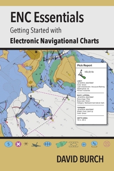
This booklet is a quick guide to how to use these powerful electronic navigational charts (ENC), which throughout much of the world is now what we mean when we say "nautical chart."
The booklet includes an in-depth online support page.
Related Subjects
TransportationCustomer Reviews
ThriftBooks ® and the ThriftBooks ® logo are registered trademarks of Thrift Books Global, LLC
