
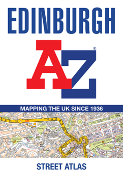
Edinburgh A-Z Street Atlas

Printed in full-color, paperback format, this atlas contains 45 pages of continuous street mapping.
The main mapping extends beyond central Edinburgh at a scale of 3.33 inches to 1 mile, featuring postcode districts, one-way streets, park and ride sites, and safety camera locations. Areas covered include: South Queensferry, Leith, Prestonpans, Tranent, Musselburgh, Dalkeith, Bonnyrigg, Loanhead, Gorebridge, Penicuik, Balerno, and Edinburgh Airport.
The large-scale street map of Edinburgh city center - at a scale of 6.67 inches to 1 mile - includes:
Places of Interest Guide, highlighting the city's major tourist attractions and world-famous Edinburgh Festival Postcode map of the Edinburgh area Road map of the Edinburgh area Diagrammatic map of rail and tram connectionsA comprehensive index lists streets, selected flats, walkways and places of interest, place, area and station names. Additional healthcare (hospitals, walk-in centers and hospices) and transport connections (Edinburgh Tramway stops) are indexed as well.
Customer Reviews
ThriftBooks® and the ThriftBooks® logo are registered trademarks of Thrift Books Global, LLC
