
All Formats & Editions
1 - 2 of 2 results found

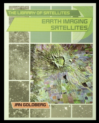
Earth Imaging Satellites
By Jan Goldberg
Edition Description
Earth imaging satellites take photographs of Earth's surface to measure pollution, find earthquake fault lines, locate forest fires, plan the growth of cities, and chart changes in size of the polar ice caps. The uses for these satellites are almost endless, and more uses are...
Edition Details
Format:Library Binding
Language:English
ISBN:0823938530
Format: Library Binding
Temporarily Unavailable
0 people are interested in this title.
We receive fewer than 1 copy every 6 months.
Earth Imaging Satellites
By Jan Goldberg
Edition Details
Format:Paperback
Language:English
ISBN:1435890760
Format: Paperback
Condition:
$
39.63
50 Available
Copyright © 2025 Thriftbooks.com
Terms of Use | Privacy Policy | Do Not Sell/Share My Personal Information | Cookie Policy | Cookie Preferences | Accessibility Statement
ThriftBooks ® and the ThriftBooks ® logo are registered trademarks of Thrift Books Global, LLC
ThriftBooks ® and the ThriftBooks ® logo are registered trademarks of Thrift Books Global, LLC
