


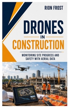
Drones in Construction: Monitoring Site Progress and Safety with Aerial Data

A construction project can change quickly. Materials arrive, crews move, structures rise, and small problems can become expensive delays before anyone notices them.
Drones in Construction shows you how to use aerial information to see what is happening across a job location, document changes clearly, and support better decisions from one stage of a build to the next.
Inside, you'll learn how to:
- Plan effective flights around active work areas
- Capture consistent photographs and video over time
- Create maps, models, and visual records
- Compare completed work against schedules and plans
- Measure stockpiles, earthworks, roofs, and structural areas
- Identify access problems, damaged materials, and potential hazards
- Coordinate pilots, supervisors, surveyors, and contractors
- Organize files so teams can find useful information quickly
- Produce clear reports for clients and stakeholders
- Protect workers, equipment, and nearby property during operations
- Turn raw imagery into practical project evidence
The explanations are clear, conversational, and focused on real working conditions. You won't simply learn how to fly over a building area. You'll understand what information to collect, how often to collect it, and how to present it in a way that helps managers, engineers, and clients.
Whether you're a remote pilot, contractor, surveyor, engineer, project manager, or property developer, this guide will help you create a repeatable process for inspection, documentation, measurement, and reporting.
Stop relying only on scattered photographs and occasional walkthroughs. Gain a clearer view of the entire project and make important changes easier to see, explain, and verify.
Customer Reviews
ThriftBooks ® and the ThriftBooks ® logo are registered trademarks of Thrift Books Global, LLC
