
Creating the Mediterranean: Maps and the Islamic Imagination
No Customer Reviews

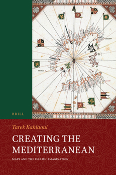
In Creating the Mediterranean: Maps and the Islamic Imagination Tarek Kahlaoui treats the subject of the Islamic visual representations of the Mediterranean. It tracks the history of the Islamic visualization of the sea from when geography was created by the Islamic state's bureaucrats of the tenth century C.E. located mainly in the central Islamic lands, to the later men of the field, specifically the sea captains from the fourteenth to the sixteenth centuries C.E. located in the western Islamic lands.
A narrative has emerged from this investigation in which the metamorphosis of the identity of the author or mapmaker seemed to be changing with the rest of the elements that constitute the identity of a map: its reader or viewer, its style and structure, and its textual content.
A narrative has emerged from this investigation in which the metamorphosis of the identity of the author or mapmaker seemed to be changing with the rest of the elements that constitute the identity of a map: its reader or viewer, its style and structure, and its textual content.
Format:Hardcover
Language:English
ISBN:9004346198
ISBN13:9789004346192
Release Date:December 2017
Publisher:Brill
Length:370 Pages
Weight:1.50 lbs.
Dimensions:1.0" x 6.3" x 9.3"
Customer Reviews
0 rating
Copyright © 2026 Thriftbooks.com Terms of Use
| Privacy Policy | Do Not
Sell/Share My Personal Information | Cookie Policy | Cookie Preferences | Accessibility Statement
ThriftBooks® and the ThriftBooks® logo are registered trademarks of Thrift Books Global, LLC
ThriftBooks® and the ThriftBooks® logo are registered trademarks of Thrift Books Global, LLC
