
Cotswolds & Chilterns A-Z Visitors' Map
No Customer Reviews

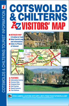
This map of the Cotswolds & Chilterns is a full colour visitors' map featuring road mapping that covers an area extending to:*Worcester*Royal Leamington Spa*Northampton*Bedford*Dunstable*London Heathrow Airport*Reading*Newbury*Marlborough*Bath*Bristol*Ross-on-WyeThis Cotswolds & Chilterns Visitors' Map is shown at a clear 2.5 miles to 1 inch scale (1.6 kms to 1 cm) and includes the following features:*Motorways open with full junction detail, motorways under construction and proposed, service areas, primary routes and destinations, A & B roads, gradients 1:5 and steeper, tolls, mileages and national and county boundaries.*Selected safety camera locations with their maximum speed limits and fuel stations.*Selected places of interest, tourist information centres, caravan and camping sites and golf courses.The index is printed adjacent to the mapping and lists cities, towns, villages, hamlets, locations and selected places of interest shown on the map.
Format:Paperback
Language:English
ISBN:1782570330
ISBN13:9781782570332
Release Date:April 2014
Publisher:Geographers' A-Z Map Company Ltd.
Length:1 Pages
Related Subjects
TravelCustomer Reviews
0 rating
Copyright © 2026 Thriftbooks.com
Terms of Use | Privacy Policy | Do Not Sell/Share My Personal Information | Cookie Policy | Cookie Preferences | Accessibility Statement
ThriftBooks ® and the ThriftBooks ® logo are registered trademarks of Thrift Books Global, LLC
ThriftBooks ® and the ThriftBooks ® logo are registered trademarks of Thrift Books Global, LLC
