
2018 Collins Britain Big Road Atlas
No Customer Reviews

Select Format
Select Condition 
Book Overview
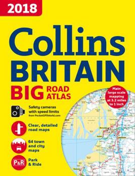
Includes road maps at a scale of 3.2 miles to 1 inch of England, Wales, and Southern Scotland, with Northern Scotland at 5 miles to 1 inch. There are route planning sections, motorway services information, and a handy distance calculator; 22 urban area approach maps showing the best routes through and into the busiest built-up areas; 64 street maps; fully updated fixed speed camera sites; an M25 orbital map; information about restricted motorway junctions; Park & Ride locations; and more than 30 categories of places of interest.
Format:Paperback
Language:English
ISBN:0008214603
ISBN13:9780008214609
Release Date:October 2017
Publisher:HarperCollins UK
Length:176 Pages
Weight:2.23 lbs.
Dimensions:1.0" x 11.5" x 15.3"
Related Subjects
TravelCustomer Reviews
0 rating
Copyright © 2026 Thriftbooks.com
Terms of Use | Privacy Policy | Do Not Sell/Share My Personal Information | Cookie Policy | Cookie Preferences | Accessibility Statement
ThriftBooks ® and the ThriftBooks ® logo are registered trademarks of Thrift Books Global, LLC
ThriftBooks ® and the ThriftBooks ® logo are registered trademarks of Thrift Books Global, LLC
