


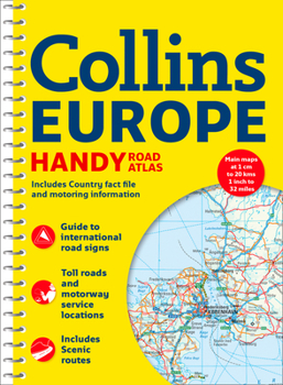
Collins Europe Handy Road Atlas

Handy A5 format road atlas of Europe with lie-flat spiral binding. Ideal format for both drivers and those travelling by public transport. Scenic routes are plotted on the maps. Scale: 1:2,000,000
Main features of this atlas:
Handy A5 format road atlas of Europe at 34 miles to 1inch. Euroroutes and motorways are easily distinguished on the mapping. The maps also show international road classifications, road distances in kilometres and land height is shown by attractive layer tints.
Also includes:
- Route planning maps at 1:6,340,000 with political colouring
- Country fact file
- Distance map and chart
- Information on international road signs
- Main road maps at 1:2,174,000
- Each page has a little locator diagram to help you pinpoint where you are in relation to the rest of Europe
- Full index to place names
- Full updates including new motorways in Ireland, France and Hungary
The maps include:
- Scenic routes
- Euro route numbers
This product is of interest to:
Motorists planning a journey in Europe and for use en route. It is also ideal for those travelling by public transport who would like a neat portable atlas to take with them.
Customer Reviews
ThriftBooks ® and the ThriftBooks ® logo are registered trademarks of Thrift Books Global, LLC
