


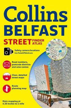
Collins Belfast Street Finder Atlas (Collins Travel Guides)
No Customer Reviews

With a scale of 4.25 inches to 1 mile, this handy full color atlas has clear street level mapping presented in an easy to use handy format. Features include a route-planning road map of the area around Belfast; color classified roads and streets; important buildings and places of interest; and car parks and railway stations. The area of coverage extends from Ladybrook in the west to Holywood in the east and from Belfast Castle in the north to Newtownbreda in the south. With its large area of coverage and high level of detail this is ideal for businesses, residents, and visitors.
Format:Paperback
Language:English
ISBN:0007493789
ISBN13:9780007493784
Release Date:June 2014
Publisher:Collins Geo
Length:48 Pages
Weight:0.20 lbs.
Dimensions:8.5" x 0.1" x 6.0"
Related Subjects
TravelCustomer Reviews
0 rating
Copyright © 2026 Thriftbooks.com
Terms of Use | Privacy Policy | Do Not Sell/Share My Personal Information | Cookie Policy | Cookie Preferences | Accessibility Statement
ThriftBooks ® and the ThriftBooks ® logo are registered trademarks of Thrift Books Global, LLC
ThriftBooks ® and the ThriftBooks ® logo are registered trademarks of Thrift Books Global, LLC
