
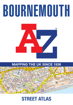
Bournemouth A-Z Street Atlas (Tenth Edition)

Navigate your way around Bournemouth with this detailed and easy-to-use A-Z Street Atlas. Printed in full color in a convenient trade paperback format, this atlas contains 63 pages of continuous street mapping.
Coverage extends to include Poole, Christchurch, Blashford, Ringwood, Wimborne Minster, Ferndown, Bournemouth Airport, Barton on Sea, Milford on Sea, and Lymington. Additional separate map coverage is provided for Verwood, Lyndhurst, and Brockenhurst, along with an inset of Three Legged Cross and large-scale town centre maps of Bournemouth and Poole.
The mapping also features postcode districts, one-way streets, park-and-ride sites, and the New Forest National Park boundary.
The comprehensive index lists streets; selected flats, walkways, and places of interest; place and area names; stations; hospitals; and hospices included in this atlas.
Related Subjects
TravelCustomer Reviews
ThriftBooks® and the ThriftBooks® logo are registered trademarks of Thrift Books Global, LLC
