
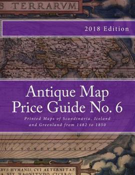
Antique Map Price Guide No. 6: Printed Maps of Scandinavia, from 1482 to 1850
No Customer Reviews

In this catalogue collectors will find details of more than 800 different antique maps of all parts of Scandinavia, including Iceland and Greenland. The maps are listed by region in date order, from 1482 to 1850. The prices given are the current values, all of which are for maps in 'fine' condition i.e. undamaged and unrestored. This enables collectors, for the first time, to compare, at a glance, the importance of all the available maps of any region. Please note that if condition was not standardized, such comparisons could not be made. There is also more information on individual maps, many of which are illustrated in colour.
Format:Paperback
Language:English
ISBN:1467984574
ISBN13:9781467984577
Release Date:March 2012
Publisher:Createspace Independent Publishing Platform
Length:74 Pages
Weight:0.79 lbs.
Dimensions:0.3" x 8.5" x 11.0"
Customer Reviews
0 rating
Copyright © 2026 Thriftbooks.com Terms of Use
| Privacy Policy | Do Not
Sell/Share My Personal Information | Cookie Policy | Cookie Preferences | Accessibility Statement
ThriftBooks® and the ThriftBooks® logo are registered trademarks of Thrift Books Global, LLC
ThriftBooks® and the ThriftBooks® logo are registered trademarks of Thrift Books Global, LLC
