
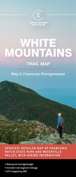
AMC White Mountains Trail Map 2: Franconia-Pemigewasset
No Customer Reviews

Select Format
Select Condition 
Book Overview
Waterproof and lightweight, this Franconia-Pemigewasset map includes detailed maps of Franconia Notch State Park and Waterville Valley, as well as hiking information. Printed in full-color on waterproof Tyvek, this fully updated map includes comprehensive trail coverage of the stunning Pemigewasset Wilderness Area along with the popular Kancamagus Highway, plus safety and planning tips and emergency information. GPS-rendered, this map is tear-resistant, has an easy-to-read scale, and includes trail segment mileage.
Format:Loose Leaf
Language:English
ISBN:1628421444
ISBN13:9781628421446
Release Date:October 2022
Publisher:AMC Books
Length:1 Pages
Weight:0.09 lbs.
Dimensions:0.1" x 4.0" x 8.9"
Customer Reviews
0 rating
Copyright © 2025 Thriftbooks.com
Terms of Use | Privacy Policy | Do Not Sell/Share My Personal Information | Cookie Policy | Cookie Preferences | Accessibility Statement
ThriftBooks ® and the ThriftBooks ® logo are registered trademarks of Thrift Books Global, LLC
ThriftBooks ® and the ThriftBooks ® logo are registered trademarks of Thrift Books Global, LLC
