
AMC White Mountains Trail Map 1: Presidential Range
No Customer Reviews

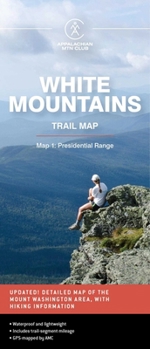
Waterproof and lightweight, this Presidential Range map includes detailed maps of the full Presidential Range, with an inset of Mount Washington. Printed in full-color on waterproof Tyvek, this fully updated map includes comprehensive trail coverage of the popular hiking region, as well as safety and planning tips and emergency information. GPS-rendered, this map is tear-resistant, has an easy-to-read scale, and includes trail segment mileage.
Format:Loose Leaf
Language:English
ISBN:1628421436
ISBN13:9781628421439
Release Date:October 2022
Publisher:AMC Books
Length:1 Pages
Weight:0.09 lbs.
Dimensions:0.1" x 3.8" x 8.8"
Recommended
Format: Loose Leaf
Condition: New
$10.27
Save $2.68!
List Price $12.95
On Backorder
If the item is not restocked at the end of 90 days, we will cancel your backorder and issue you a refund.
Usually restocks within 90 days
Not eligible for Free Shipping 
Save to List
Customer Reviews
0 rating
Copyright © 2026 Thriftbooks.com
Terms of Use | Privacy Policy | Do Not Sell/Share My Personal Information | Cookie Policy | Cookie Preferences | Accessibility Statement
ThriftBooks ® and the ThriftBooks ® logo are registered trademarks of Thrift Books Global, LLC
ThriftBooks ® and the ThriftBooks ® logo are registered trademarks of Thrift Books Global, LLC
