
AA Motorists Atlas Britain 2026 Spiral
No Customer Reviews

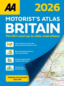
This A4 format spiral bound road atlas provides super-clear mapping from the experts at the AA at 4 miles to 1 inch. Each page has been titled with its geographical location so you can turn to the page you need more easily. Wide minor roads (more than and less than 4m wide), National Trust, English and World Heritage, other hard-to-find places are also shown. Includes 70 city, town and port plans and 10 pages of central London mapping with index. District mapping of Birmingham, Glasgow, Manchester, London and Newcastle. A comprehensive 31,500 entry index with airports, top tourist sites and motorway services listed. The ferry port plans are inset on the mapping for ease of reference. Scenic routes, tourist sites and the top 300 AA-Inspected caravan and camping sites are symbolized on the mapping. Great for helping to navigate your route or as the perfect back up to a satnav. *The UK's most up-to-date road atlases* Main Features: - Up-to-date mapping from the experts at the AA
- A4 format revised and updated for 2026
- Large 4 miles to 1 inch scale
- 70 city, town and port plans
- District mapping of Birmingham, Glasgow, Manchester, London and Newcastle
- A4 format revised and updated for 2026
- Large 4 miles to 1 inch scale
- 70 city, town and port plans
- District mapping of Birmingham, Glasgow, Manchester, London and Newcastle
Format:Spiral-bound
Language:English
ISBN:074958436X
ISBN13:9780749584368
Release Date:September 2025
Publisher:AA Publishing
Length:208 Pages
Customer Reviews
0 rating
Copyright © 2025 Thriftbooks.com
Terms of Use | Privacy Policy | Do Not Sell/Share My Personal Information | Cookie Policy | Cookie Preferences | Accessibility Statement
ThriftBooks ® and the ThriftBooks ® logo are registered trademarks of Thrift Books Global, LLC
ThriftBooks ® and the ThriftBooks ® logo are registered trademarks of Thrift Books Global, LLC
