
AA Caravan and Motorhome Atlas Britain
No Customer Reviews

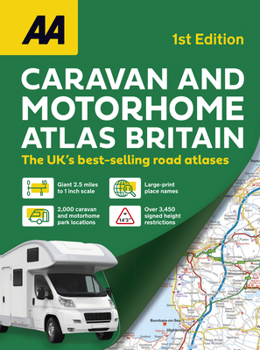
NEW ATLAS for caravan and motorhome owners when route planning and touring, large format A3 road atlas, 2.5 miles to 1 inch giant scale with easy to read placenames, makes it easy to read, each page has been titled with its geographical location so you can turn to the page you need more easily. The atlas provides important information to caravan and motorhome owners, includes named AA-inspected caravan parks and non-AA parks, plus low bridge heights. Roads less than 4 meters wide are distinguished, plus road tunnels, toll roads, service areas, steep gradients, level crossings and low emission zones. Special feature for caravanners is a listing of the AA-inspected sites with their ratings and 10 individual touring routes ranging from 96- 480 miles with accompanying map and information on places of interest along the route. 4 page route planner, quick reference distance chart and explanatory list of restricted motorway junctions. 5 large scale district maps of London, Birmingham, Glasgow, Manchester and Tyne & Wear. Over 8,700 places of interest shown on the mapping National Trust and English Heritage sites, National Parks and tourist sites with the addition of scenic routes.
Format:Paperback
Language:English
ISBN:0749584165
ISBN13:9780749584160
Release Date:September 2024
Publisher:AA Publishing
Length:208 Pages
Related Subjects
TravelCustomer Reviews
0 rating
Copyright © 2025 Thriftbooks.com
Terms of Use | Privacy Policy | Do Not Sell/Share My Personal Information | Cookie Policy | Cookie Preferences | Accessibility Statement
ThriftBooks ® and the ThriftBooks ® logo are registered trademarks of Thrift Books Global, LLC
ThriftBooks ® and the ThriftBooks ® logo are registered trademarks of Thrift Books Global, LLC
