
Southern England Regional A-Z Road Atlas
No Customer Reviews

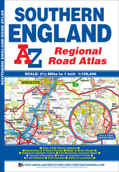
This A-Z map of Southern England is a full colour regional road atlas featuring 39 pages of continuous road mapping that covers an area extending to: -Cardiff-Newport-Bristol-Swindon-Reading-Slough-Guildford-Littlehampton-Portsmouth-Isle of Wight-Bournemouth-Weymouth-Sidmouth-Taunton-Weston-Super-MareThis Southern England Road Atlas is shown at a clear 2.5 miles to 1 inch scale (1.58 km to 1 cm) and includes the following features: -Motorways open with full junction detail, motorways under construction and proposed, service areas, primary routes and destinations, A & B roads, selected minor roads, gradients 1:5 and steeper, tolls, mileages, county boundaries, spot heights and hill shading-Selected safety camera locations with their maximum speed limits-Selected fuel stations-National Park boundaries-Selected places of interest, tourist information centres and golf coursesAlso included are 15 city, town, airport or port plans for: -Bath-Bournemouth-Bristol-Cardiff-Guildford-Portsmouth-Reading-Salisbury-Southampton-Swindon-Taunton-Winchester-Windsor-London Heathrow Airport-Poole PortThe index section lists cities, towns, villages, hamlets and locations covered by this atlas.
Format:Paperback
Language:English
ISBN:1843487977
ISBN13:9781843487975
Release Date:September 2016
Publisher:Geographers' A-Z Map Company Ltd.
Length:60 Pages
Weight:0.55 lbs.
Dimensions:0.2" x 6.7" x 9.7"
Customer Reviews
0 rating
Copyright © 2025 Thriftbooks.com
Terms of Use | Privacy Policy | Do Not Sell/Share My Personal Information | Cookie Policy | Cookie Preferences | Accessibility Statement
ThriftBooks ® and the ThriftBooks ® logo are registered trademarks of Thrift Books Global, LLC
ThriftBooks ® and the ThriftBooks ® logo are registered trademarks of Thrift Books Global, LLC
