
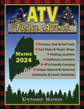
2024 Maine ATV Trail Map Atlas

Adventure is calling and a new ATV season is just around the corner The 2024 Maine ATV Trail Map Atlas includes over 6,000 miles of ATV, UTV and dirt bike trails created from over 100 individual maps to show the most up-to-date and accurate trails possible Discover new routes, plan scenic day rides, and epic multi-day adventures with the 2024 Maine ATV Trail Map Atlas. Now, you can plan your and your crew's adventure of a lifetime
Unforgettable Rides and ExperiencesThe map shows Primary Corridor trails, ATV club trails, and access routes for the entire state of Maine Also included on the map are scenic and awesome hot spots and side trips like Moxie Falls, the Moose Loop, the B-52 Crash Site, and dozens of mountaintop climbs and scenic lookouts. Now, you can plan ahead to see scenic views and unique landmarks instead of discovering them out on the trail when you're out of time The map also includes parking locations and places to get fuel.
Order your copy of the 2024 Maine ATV Trail Atlas now and start planning your ATV, UTV, or Dirt Bike trip
The 2024 Maine ATV, UTV & Dirt Bike Trail Atlas Includes: Primary Corridor TrailsATV Club TrailsAccess Trails (paved connector trails)Closed Trails (which can re-open)Gas StationsParking LocationsATV Club InformationTrailside ServicesHot Spots, Loop Trails and Side Trips including: Moxie FallsThe Moose LoopMaine's 11 Multi-Use Rail TrailsB-52 Crash SiteLow's Covered BridgeMountaintop Climbs & LookoutsScenic OverlooksMany more remote historic sites and natural landmarks Terrain Features & Elevation***PLEASE NOTE***These maps are intended for trip planning purposes only and are not for navigation. Maine's ATV & Dirt Bike trail routes change daily due to weather conditions, logging operations, landowner requests, etc.
Always contact local ATV clubs for the most updated information on trail routes and closuresCustomer Reviews
ThriftBooks ® and the ThriftBooks ® logo are registered trademarks of Thrift Books Global, LLC
