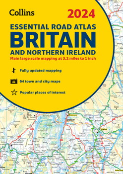
2024 Collins Essential Road Atlas Britain and Northern Ireland: A4 Spiral
This A4 road atlas with lie-flat spiral binding provides clear and detailed road mapping for England, Wales and Southern Scotland at a scale of 3.2 miles to 1 inch (1:200,000). For Northern Scotland the mapping is at a scale of 4.2 miles to 1 inch (1:266,000), with land height shown by different layers of colouring. Main features: * Route planning section including maps at a scale of 22 miles to 1 inch for long distance route planning, motorway services...
Format:Spiral-bound
Language:English
ISBN:0008597588
ISBN13:9780008597580
Release Date:August 2023
Publisher:Collins
Length:336 Pages
Related Subjects
TravelCustomer Reviews
0 rating


