
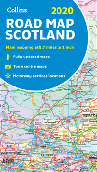
2020 Collins Road Map Scotland
No Customer Reviews

Full color map of Scotland at 8.7 miles to 1 inch (1:550,000) with clear, detailed road network and administrative areas shown in color. The map covers the whole of Scotland and part of Northern England conveniently on one side, and is ideal for reference or route planning. The map shows the road network in detail for easy route planning. It is ideal for business users also, with its political coloring of local council areas. Main features include administrative areas shown in color; clear, detailed road network and road distances; town and city names, rivers, railway lines and canals clearly shown; 7 city/town center street plans showing places of interest; index to place names; mileage chart; car ferry routes; and key in English, French and German.
Format:Map
Language:English
ISBN:0008318743
ISBN13:9780008318741
Release Date:October 2019
Publisher:Collins Publishers
Length:1 Pages
Related Subjects
TravelCustomer Reviews
0 rating
Copyright © 2026 Thriftbooks.com
Terms of Use | Privacy Policy | Do Not Sell/Share My Personal Information | Cookie Policy | Cookie Preferences | Accessibility Statement
ThriftBooks ® and the ThriftBooks ® logo are registered trademarks of Thrift Books Global, LLC
ThriftBooks ® and the ThriftBooks ® logo are registered trademarks of Thrift Books Global, LLC
