
2020 Collins Road Map Britain
No Customer Reviews

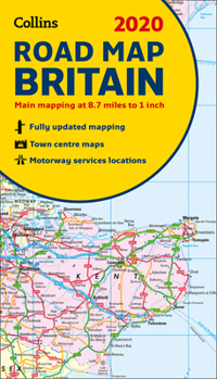
Full colour double-sided map of Great Britain at 8.7 miles to 1 inch (1:550,000), with clear, detailed road network and administrative areas shown in colour.With its political colouring of counties and unitary authorities it is ideal for business users but it is also perfect for tourists as a route planning map.Main Features- Fully updated- Counties and local council areas shown in colour- Clear, detailed road network- Town and city names, rivers, railway lines and canals clearly shown- 16 city/town centre street plans- Index to place names- Mileage chart- Car ferry routes- Key in English, French and GermanArea of CoverageDouble-sided road map covering the whole of Britain, Scotland and the Isle of Man are on one side with Southern England and Wales on the other.
Format:Paperback
Language:English
ISBN:0008318727
ISBN13:9780008318727
Release Date:October 2019
Publisher:Collins
Length:1 Pages
Weight:0.25 lbs.
Dimensions:0.4" x 5.3" x 9.2"
Related Subjects
TravelCustomer Reviews
0 rating
Copyright © 2026 Thriftbooks.com Terms of Use
| Privacy Policy | Do Not
Sell/Share My Personal Information | Cookie Policy | Cookie Preferences | Accessibility Statement
ThriftBooks® and the ThriftBooks® logo are registered trademarks of Thrift Books Global, LLC
ThriftBooks® and the ThriftBooks® logo are registered trademarks of Thrift Books Global, LLC
