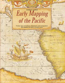
Early Mapping of the Pacific: The Epic Story of Seafarers, Adventurers, and Cartographers Who Mapped the Earth's Greatest Ocean
Take a journey back to the uncharted oceans with the most celebrated European explorers Interest in Southeast Asian history and culture is higher than ever before. Ancient cartography of Oceania holds mysteries as old as time--were these early ocean maps molded as much by fantasy as fact? Early Mapping of the Pacific bravely delves into all the questions surrounding the history of maps. The Pacific Ocean remained a mystery to mapmakers until the latter...
Format:Hardcover
Language:English
ISBN:0794600921
ISBN13:9780794600921
Release Date:April 2004
Publisher:Periplus Editions
Length:224 Pages
Weight:3.50 lbs.
Dimensions:0.9" x 9.3" x 12.1"
Customer Reviews
3 ratings
Opening European eyes on the Pacific
Published by Thriftbooks.com User , 18 years ago
"The European mapping of the Pacific was at times a mapping of the European psyche," writes Thomas Suarez. The mere fact that the Europeans did it, at such cost, was an aspect of a unique psychological outlook. The people who lived in and around the Pacific never bothered. There were a variety of reasons, some merely technical, for that. For whatever reasons, the indigenes were content with local maps. The drive to know the whole world did not inspire them. The Europeans had crass motivations as well. After 300 years of effort, there were still a few spots unknown to them in 1800 -- and even as a big a place as Hawaii had been found barely two decades earlier. But in the 19th century the quest for "sandalwood, trepang, seals, whales and furs" exposed every last scrap of land to purchasers of European maps. "Early Mapping of the Pacific" follows on Suarez's gorgeous "Early Mapping of Southeast Asia" and will have even more interest for Hawaii readers. Hawaii gets more detailed attention than anyplace else, and it is easy to see that Suarez has spent plenty of time here. He writes that "often the mapping and exploration of the Pacific seems the stuff of novels," and his own late entry into the field was, if not novelistic, distinctly unusual. A classical violinist, Suarez was giving concerts way off Broadway -- places like Moen island in Chuuk in Micronesia -- when he became interested in the places, the people, the stories and the maps. For a generation, he's been an authority and consultant on old maps. Even without the detailed text, it is easy and curious to follow the progress -- sometimes regress -- of European knowledge of the Pacific over time. When the Pacific was completely unknown to Europe, the best maps Europe had already showed close correspondence with the shapes and locations of the Caribbean and Africa, though the Caribbean had been unknown 20 years earlier. Often -- not always, by any means -- the Europeans in their restless inquisition acquired accurate maps almost overnight. Even in fairly early maps, some parts of the Pacific begin to look quite familiar, though others remain seriously confused. It took a long time, for example, to learn that Australia and New Guinea are not connected. Even by the time of James Cook, a buyer of maps in Amsterdam or London had to choose between very different opinions about what lay in the Pacific. One topic that Suarez devotes considerable attention to is whether the Spaniards found Hawaii before Cook did in 1779. There are early maps that show islands about where Hawaii is. Suarez is not persuaded that they represent anything more than the other fugitive islands that cartographers in Europe were led and misled to draw on maps even into the 19th century. There is an even stronger argument against Spanish discovery. The maps that show "Hawaii" show other islands to the east and to the west that we know do not exist, and the accuracy of these maps for the west coast of America is poor also. If "
Excellent introduction to the topic suitable for map collectors
Published by Thriftbooks.com User , 19 years ago
The author does an excellent job of describing and illustrating key milestones in the mapping of the Pacific region. He integrates the history of exploration and of cartography in an effective manner that adds life to the plentiful and abundant maps that illustrate the text. The book is an excellent introduction for the serious collector of antique maps of the Pacific. Its a beautiful book and informative book, however, it could be a difficult read at times for those less interested in maps or history.
Inconsistent review
Published by Thriftbooks.com User , 20 years ago
The review of this volume suggests that it is a worthy work of some substance (as do comments elsewhere). But only one star? Is this an error?


